By Jan TenBruggencate

Hule‘ia River and Estuary
The Nāwiliwili and Hulē‘ia region has been a center of Kaua‘i activity since the earliest days.
The bay held the nearest safe anchorage for sailing ships from Honolulu, although it was a bumpy place to wait out a storm until the breakwater was built in 1922.
Its richness came in part from the abundance of fresh water. Many streams flowed into Nāwiliwili Bay, with Hulē‘ia just the largest of them.
The others include Pū‘ali Sream and Nāwiliwili Stream. Papalinahoa Stream was between them and has been diverted underground. Koena‘awa-nui Stream flowed into the middle of Kapalakī Beach, and there was another spring and stream at the eastern side of the beach, perhaps named Koena‘awa-iki.
The many steep-sided valleys of the region so impressed early residents that they attributed the rugged landscape to digging by the pig/man demigod, Kamapua‘a.
The earliest archaeological dates in the area go back to about the year 1100.
The eastern peak overlooking Nāwiliwili Harbor from the south is Kalanipu‘u, a place once used to spot schools of fish.
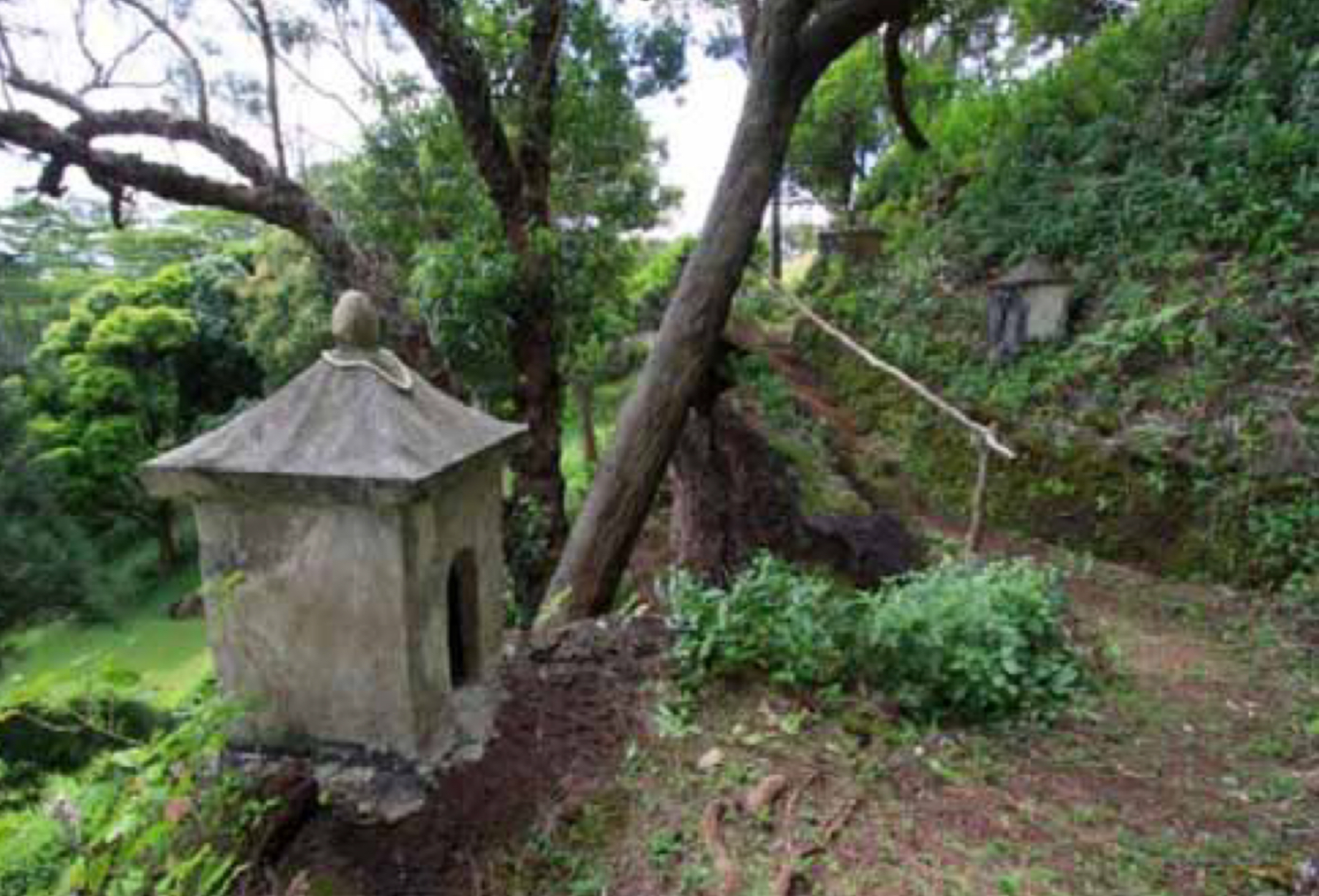
The hill to the west of the bay, where Kaua‘i High School now stands, once held the four-acre heiau, Kuhiau, one of the largest and best-known Hawaiian temples on the island. Many of the peaks on the Hā‘upu Mountain range, readily visible from Kuhiau, had astrological names, and may have been used in teaching navigation at the heiau.
Taro fields lined the stream valleys. Forests of koa, hala, wiliwili, hau, ‘ahakea and kukui covered its uplands. A rich estuary and bay as well as major fishponds fed its people.
The Nāwiliwili area had at least six fishponds, of which Alakoko was the largest. Others include Kalalalehua, Lokoponu, Papalinahoa and two whose names have been lost.
The winds of the region include the twisting wind Kiu Ke‘e and the Hu‘e One winds of Nāwiliwili; and at Kalapakī, the Wāmua and He Waikai Ko Kalapakī, which refers to the brackishness of the seawater due to all the fresh water springs and streams. The breezes blowing across the uplands of Līhu‘e are the Pāhole winds.
During the historic period, early government leaders lived here. The governor Kaikio‘ewa grew sugar cane at Nāwiliwili in 1839, and Paulo Kanoa was governor of Kaua‘i from 1847 to 1877. Kanoa once owned the Alakoko Pond.
The area’s first sugar plantation started in 1849, and its mill became the most productive sugar mill in the Islands. Līhu‘e Mill ground the cane from several plantations, including ones at Kīpū, Līhu‘e, Grove Farm, Hanamā‘ulu and Makee.
Līhu‘e was named the county seat in 1905, and its importance grew with the construction of the new harbor at Nāwiliwili in 1922 and of the Līhu‘e Airport in 1949.
It remains the political and economic center of the island. Its near neighbors are mostly bustling economic areas, with a major resort on Kalapakī Beach, shops, apartments and restaurants at Nāwiliwili, and the harbor that now covers the old Papalinahoa Stream.
- Jan TenBruggencate is a Kaua‘i based writer and communications consultant.
Discover more from ForKauaiOnline
Subscribe to get the latest posts sent to your email.

Leave a Reply